Data●●Solid
Newsmaps.io a map of how news topics are covered by different countries
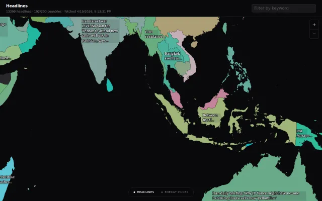
World map of 13k headlines lets you browse news by country instead of feed.
Eye CandyRabbit Hole
mkoh
1962mo ago
Pixel-perfect day/night terminator plus zero-latency map scrub without React renders.
Remote teams, scheduling coordinators, time zone enthusiasts
World Time Buddy · Every Time Zone · Timezone.io
A few things that were technically interesting to build: The day/night terminator. It's not just a shaded half-sphere. I implemented a simplified USNO solar declination algorithm, computing the subsolar point for a given UTC timestamp, then tracing the great-circle terminator and sampling which side each pixel falls on. It renders pixel-by-pixel onto a Canvas overlay above the SVG map. During drag it bypasses React's render cycle entirely and draws directly on the canvas ref for zero-latency feedback. The map drag = time scrub. Dragging the map horizontally shifts time - one full map width equals 24 hours (1440 minutes). The math is straightforward (pixel delta → minute delta → new Date), but making it feel fluid required some care. City card updates use useDeferredValue so the main thread prioritizes the drag over re-rendering all the cards. URL state. The current city list, base city, and manual time are encoded in the URL and debounced at 500ms so you can share or bookmark a specific view. Restoring from URL has to deal with two city sources: ~306 hardcoded IANA cities and ~33k GeoNames cities that live in localStorage after a search. The GeoNames dataset was 33,334 cities after deduplication-by-timezone. I build a JSON file at deploy time rather than hitting the GeoNames API at runtime. Stack: React 18, TypeScript strict, Vite, Tailwind, Framer Motion, D3-geo Mercator, date-fns-tz, Hono for the city search API. MIT licensed.
Source: https://github.com/zzjoey/ZoneMap Live: https://zonemap.live
Known rough edges: mobile layout is functional but cramped, and the terminator calculation skips atmospheric refraction so it's off by ~0.5° at the poles.
World map of 13k headlines lets you browse news by country instead of feed.
Renaissance parchment aesthetic makes global data exploration feel deliberate.
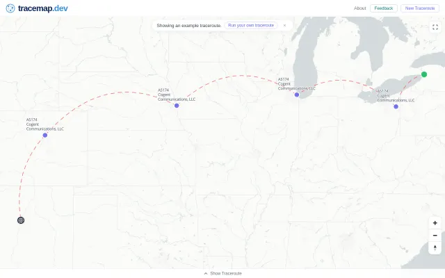
Maps traceroute hops visually, but Globalping already visualizes paths without the extra step.
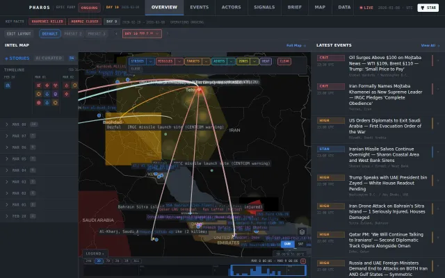
Geospatial conflict dashboard beats raw-feed competitors with spatial intel and AI signal curation.
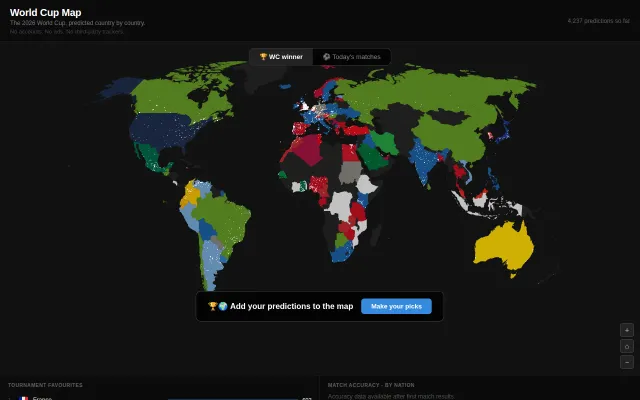
Visually striking map with 4K+ predictions and zero signup friction.
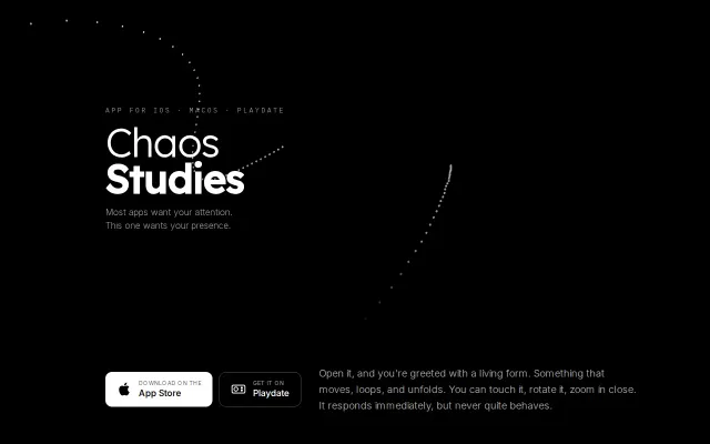
Strange attractors + spatial audio that rotates with the form you're touching.