Gaming●Mid
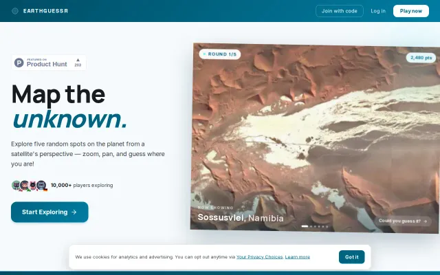
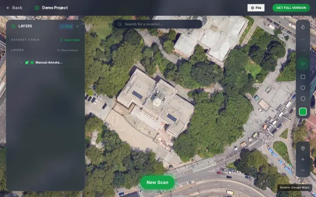
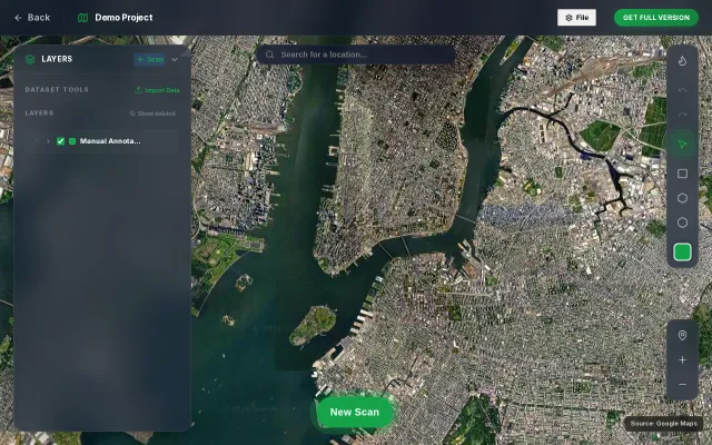
EarthGuessr – Guess locations from satellite imagery
GeoGuessr clone with satellite imagery—10k players but no real differentiation.
Crowd PleaserCozy
fredrikmoger
309d ago
Rasteret is a library for 20x+ faster reads of GeoTIFF than Rasterio/GDAL. Interops with TorchGeo, Xarray, DuckDB, Polars
Parquet-cached COG metadata cuts satellite image cold starts from minutes to seconds.
ML engineers working with geospatial imagery, remote sensing researchers
TorchGeo · Planetary Computer API · Sentinel Hub
GeoGuessr clone with satellite imagery—10k players but no real differentiation.
VLM-based satellite detection sounds good until you remember YOLO and specialized models handle occlusion better.
Tile-based VLM inference with coordinate projection, but dense objects still need YOLO.
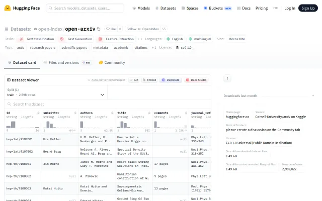
Pre-cleaned ArXiv metadata in Parquet saves hours of ETL pipeline work.
OpenRouter revenue + satellite compute tracking shows AI market power shifts in real-time.
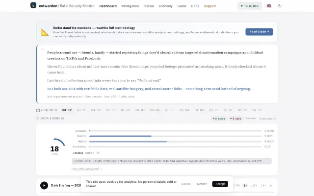
Real satellite thermal detections at military sites beat generic news feeds for truth.