Productivity●Mid
OpenTalk2HTML – Convert video meeting transcripts to readable HTML
Transcript-to-HTML converter with no visible differentiation from existing tools.
Ship It
xducn1
101d ago
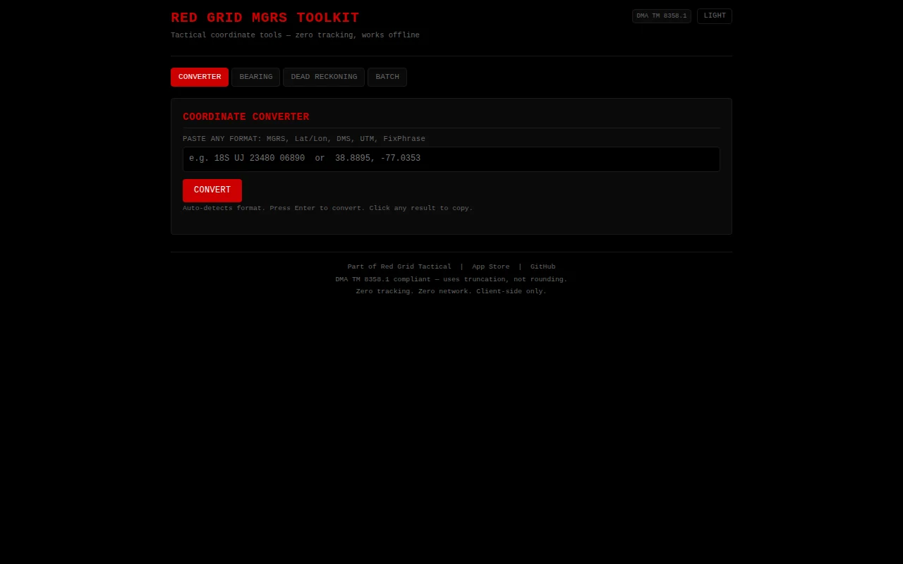
DMA TM 8358.1 compliant with truncation, but coordinate converters are a solved category.
Military personnel, outdoor enthusiasts, GIS developers
what3words · Google Earth · QGIS
It auto-detects whatever format you paste in and converts to everything else simultaneously. Also has a bearing/distance calculator, dead reckoning, and batch mode for converting lists. Includes FixPhrase (the open-source, patent-free What3Words alternative) that turns any coordinate into a 4-word phrase.
The engine uses DMA TM 8358.1 (truncation, not rounding. The popular npm mgrs package gets this wrong). Everything runs client-side, no tracking, works offline after first load. ~88KB total. Link is to the repo if anyone wants to poke around.
Transcript-to-HTML converter with no visible differentiation from existing tools.
Replaces $2,500 DAGR hardware with free open-source iPhone app.
HTML-to-PNG for social posts when Canva and Figma already export directly.
AI converts HTML to Hugo templates, but manual conversion isn't hard enough to need GPT-4.
Markdown-for-Agents proxy for private/internal sites, but Jina.ai and Firecrawl cover most use cases.
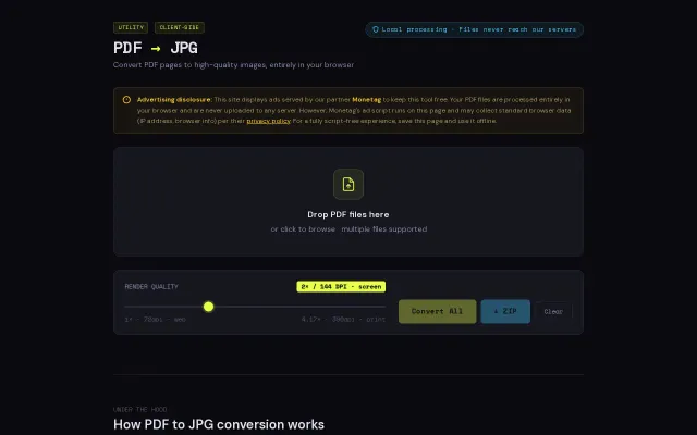
Client-side PDF conversion when Smallpdf already does this free.