Productivity●●Solid
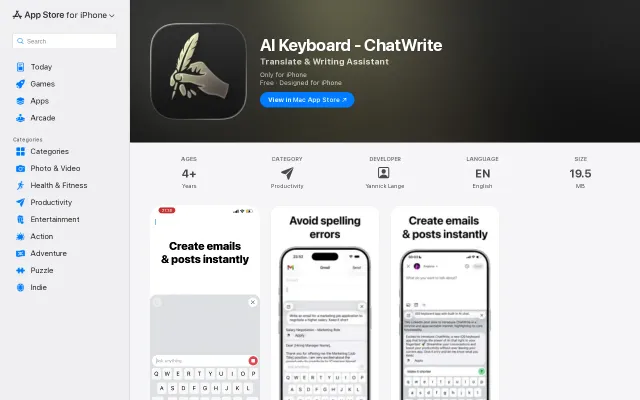
AI Keyboard iOS App
AI keyboard for iOS, but Grammarly, Nativeads, and Quill already own this space.
Solve My ProblemSlick
yannickbuilds
113mo ago
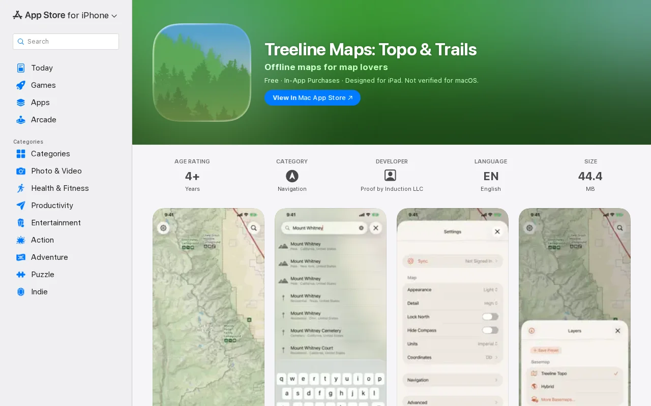
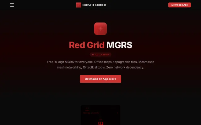
Custom NPS-inspired basemap actually renders offline, unlike CalTopo's webview hack.
Backcountry hikers, campers, wilderness navigation users
Gaia GPS · CalTopo · AllTrails
I really love hiking, camping, and backpacking, and I try to get out into the middle of nowhere as much as I possibly can. I could never leave on a trip without a good topo map downloaded.
Over the last couple years, though, I've gotten pretty fed up with the existing options when it comes to offline maps. Gaia is expensive and buggy; CalTopo is ugly, dated, and battery-sucking (the map is an embedded webview); AllTrails isn't fully-featured enough for serious backcountry trips; OsmAnd is ugly and lacks some basic features for the backcountry. Several major players have been purchased by private equity and are just getting worse.
I hate to be this critical of tools that have obviously had a lot of love and care put into them, but they haven't kept up with the times, and I really think the outdoor recreation community deserves better.
So Treeline is my attempt to build that. It has all the major features of Gaia et al. It has a fully custom basemap (with style inspiration from NPS and USFS maps - I think it's quite pretty!), offline downloads, POIs (campsites, water, etc.), detailed point info, search, navigation, route recording, saved features, 20+ useful layers, and a lot more.
You can download maps for offline use and access all the overlays for $18/year flat. That price is lower than any comparable app, and it will stay fixed through at least 2027.
I intend to implement pretty much every feature that people rely on in other outdoor mapping apps - although Treeline works well now, and I've used it on trips myself, this is just a start. I want it to be the mapping app of my dreams, and ideally of yours, too.
Two major caveats:
- Private land ownership data is expensive, so that will not be coming immediately. (The Public Lands layer lets you see inholdings, though.)
- Map data is US-only for now. Because the basemap is fully custom, changes require a long rebuild, and it turns out that the Earth is massive. I'm expanding to the rest of North America this week, with the rest of the world to follow.
I'm planning a web client for route building, and Android will follow if there's interest.
Please check it out and let me know what you think! Out now on the App Store: https://apps.apple.com/us/app/treeline-maps-topo-trails/id67...
AI keyboard for iOS, but Grammarly, Nativeads, and Quill already own this space.
Wrote a protobuf encoder from scratch to integrate Meshtastic with no React Native SDK.
Landing page promises revenue growth without code changes, but beta access only.
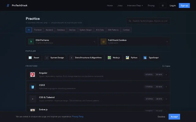
Another AI interview prep tool in a sea of LeetCode and Pramp clones.
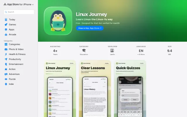
Mobile port of linuxjourney.com — useful for learning on the go but nothing technically novel.
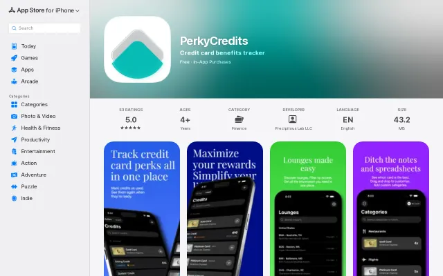
Manual credit tracking app competing against MaxRewards and CardPointers.