Hardware●●●Banger
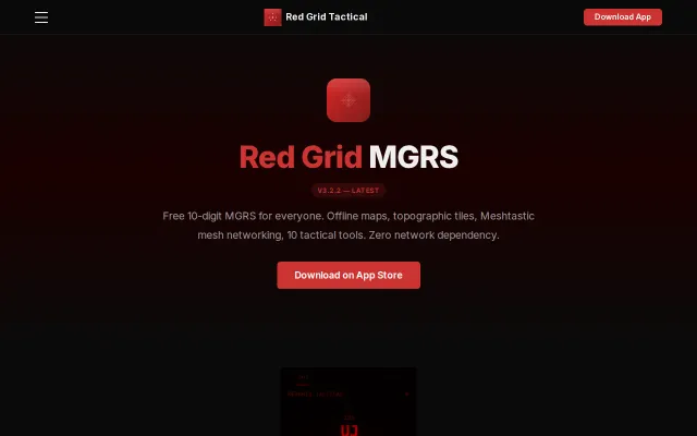
Red Grid MGRS – Open-Source DAGR-Class GPS Navigator for iPhone
Replaces $2,500 DAGR hardware with free open-source iPhone app.
Niche GemDark HorseSolve My Problem
redgridtactical
213mo ago
Navigation when there is no GPS and no Internet.
Terrain contour matching on consumer hardware using barometer elevation profiles is clever.
Outdoor enthusiasts, emergency preparedness folks, and developers interested in sensor fusion
Gaia GPS · what3words
I wanted to share what I have been working on recently. I had this itch for a long time to figure out if terrain contour matching could help with ground navigation, by only only relying on iphone's sensors and public data. So far I have had decent results. This is a working prototype, but there is a lot that is in the pipeline. If you notice anything weird, let me know or open a PR. Any feedback, comments are welcome :)
Replaces $2,500 DAGR hardware with free open-source iPhone app.
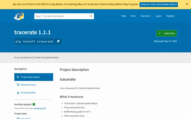
Bufferbloat grading is useful, but Ookla and Fastly already dominate this space.
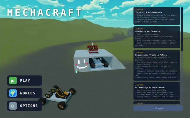
Browser-based vehicle physics sandbox that runs Besiege-like builds without installing Unity.
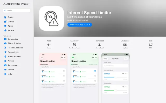
Finally test slow 3G on iPhone without tethering to a Mac.
Wrote a protobuf encoder from scratch to integrate Meshtastic with no React Native SDK.
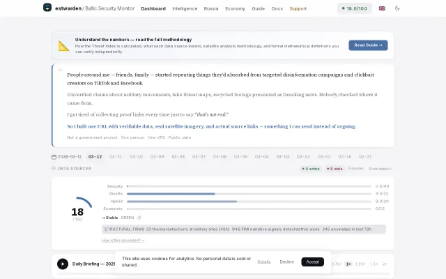
Real satellite thermal detections at military sites beat generic news feeds for truth.